

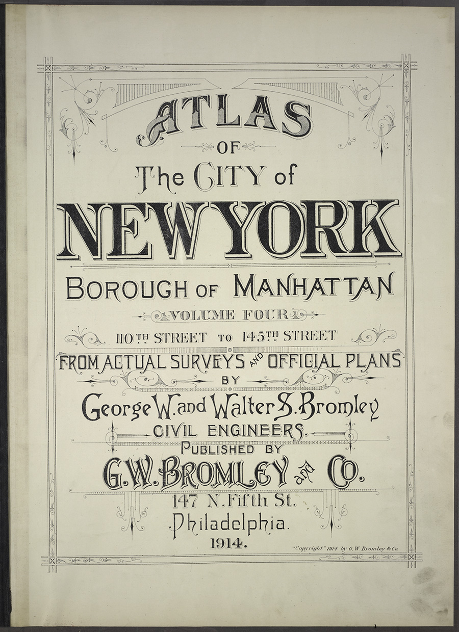
Last year we saw the Getty Museum make thousands of high-resolution images freely available for download through their Open Content program. And now here’s another great freebie: the New York Public Library’s Open Access Maps.
Altogether, more than 20,000 high-resolution historic maps are downloadable and free for any use under the Creative Commons Public Domain Dedication. Many of the historic maps are also rectified (matched up to modern maps).


This article was last modified on January 28, 2021
This article was first published on April 1, 2014
Commenting is easier and faster when you're logged in!

Recommended for you

CreativePro Introduces CreativePro Conversations
Don't miss this exciting new video series where creatives of all stripes discuss...
SoftCare K2: From the Makers of K4
SoftCare GmbH will be presenting its new product SoftCare K2, an editorial syste...

InCrease Your Learning with Project-Based Sessions at The InDesign Conference 2025
Take a hands-on approach to learning InDesign