
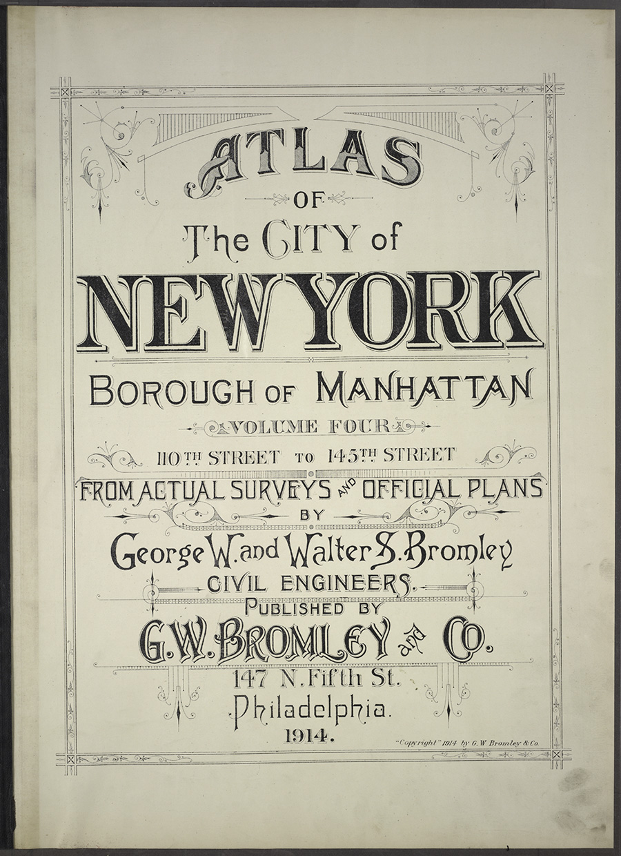
Last year we saw the Getty Museum make thousands of high-resolution images freely available for download through their Open Content program. And now here’s another great freebie: the New York Public Library’s Open Access Maps.
Altogether, more than 20,000 high-resolution historic maps are downloadable and free for any use under the Creative Commons Public Domain Dedication. Many of the historic maps are also rectified (matched up to modern maps).


This article was last modified on January 28, 2021
This article was first published on April 1, 2014
Commenting is easier and faster when you're logged in!

Recommended for you

Make a Table Span Columns in InDesign
Did you know that tables can span multiple columns in a frame? Keith shows you h...

Marcel’s Letters: A Font and the Search for One Man’s Fate
Marcel is more than just a beautiful script typeface. It is the product of a fan...

How to Set a Default Object Style for Placed Images in InDesign
Learn how to set a default object style in InDesign that will automatically appl...