


Map Resources just released the most detailed maps ever created for the stock image market. These incredibly detailed maps are great for showing locations, creating posters & wall maps, and illustrating print projects.
The maps are vector format – fully layered and editable with Adobe Illustrator. Royalty free license for print, web and broadcast.
These new maps ready now for online delivery:
US Cities: Las Vegas, Boulder, New York City, Fort Worth
US County: Napa, CA
Country maps: Ireland, Mexico, UK, Italy
Most Popular Maps
PDF Previews and layers lists available for evaluating maps.
Map Resources specializes in developing editable maps for the professional business and graphics industry. A complete online collection is available at: www.mapresources.com. For for information call 800-334-4291.
This article was last modified on January 3, 2023
This article was first published on September 22, 2006
Commenting is easier and faster when you're logged in!

Recommended for you

A Script to Display InDesign Documents at Actual Size
Script makes Actual Size on screen match actual size in the real world, even if...
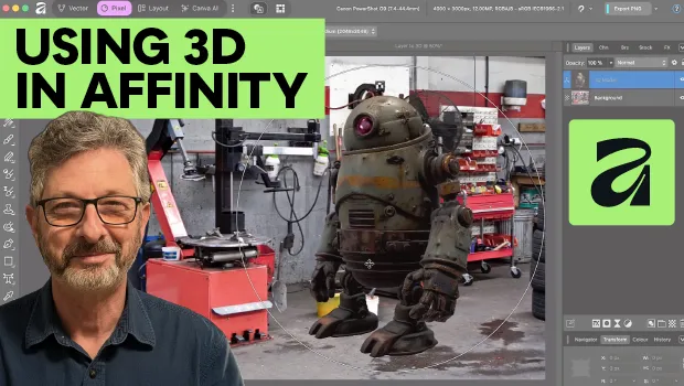
Using 3D in Affinity
Create rotatable 3D objects using Affinity and Canva AI with Steve Caplin.

Interview with Brittney Megann, CEO and Head Socialista
A self-taught CEO shares how she built a marketing business after a life-alterin...