


Digital Vector Maps has published more than 300 new vector maps of US cities. The new maps offer an affordable medium-detail vector map of the greater metropolitan area for over 300 major cities across the US, all of which are available in Adobe Illustrator or editable PDF format. Each map is comprised of multiple layers which can be individually edited or easily turned off, allowing designers a great deal of flexibility to show or hide as much detail as is required by the project. Layers available in each of the maps include: city borders, rail lines, highways, roads, water features, major landmark features, national park boundaries and county borders.
The new city maps range in price from $69.95 to $274.95, and are available for instant download on the Digital Vector Maps site, or by calling (800) 928-6851.
https://digital-vector-maps.com/
This article was last modified on April 3, 2022
This article was first published on June 15, 2007
Commenting is easier and faster when you're logged in!

Recommended for you
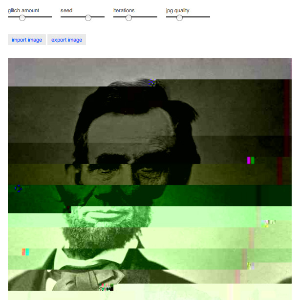
Do-It-Yourself Glitch Art
Here’s something perfect for a Friday, or any day when productivity isn...

50% Off All Photoshop Software from Alien Skin
Alien Skin software, makers of Photoshop plug-ins and iPhone apps for photograph...

CreativePro Tip of the Week: Using the Navigator panel in Photoshop
This CreativePro Tip of the Week for Using the Navigator panel in Photoshop was...